
Katherine Mine Overburden Still Causing Damage 100 Years Later: Colorado River and Lake Mohave Mining Runoff Sediment Load
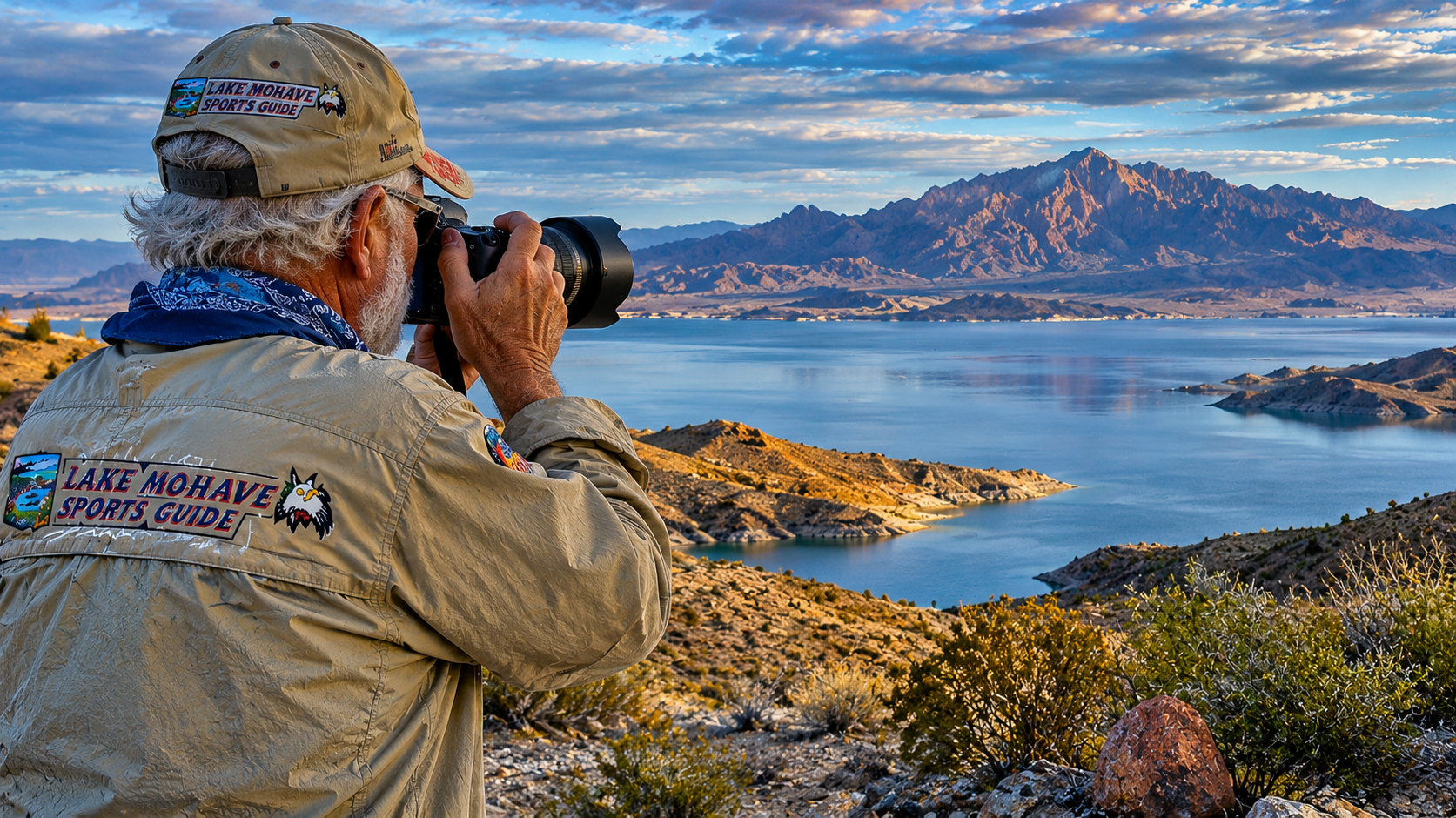
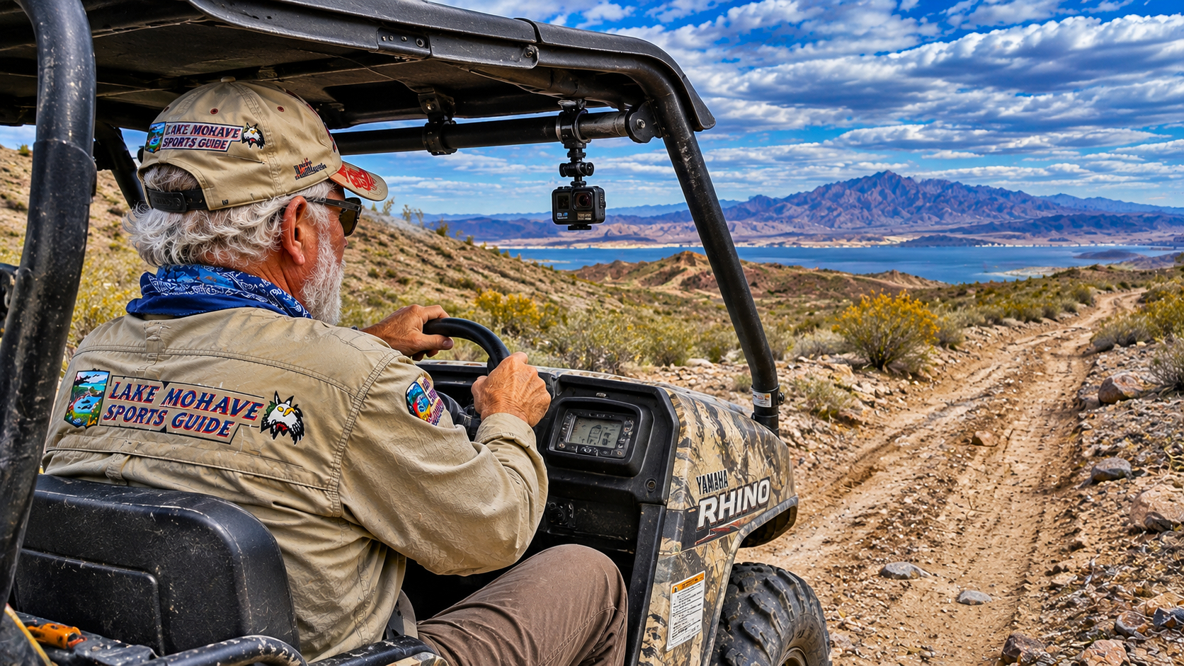
By Pat | Lake Mohave Sports Guide
A Beautiful Desert Morning and an Unexpected Discovery
There's something about returning to Casa Codorniz after spending another wonderful summer in Santa Fe that always lifts my spirits.
Paulette and I have been making this seasonal migration for going on fifteen years now. When the nights begin cooling in northern New Mexico, we pack up and head southwest to our winter home in the Black Mountains above Lake Mohave.
Paulette calls our property High Chaparral.
I call it Casa Codorniz, after the Gambel's quail that share the place with us.
Either way, it's home.
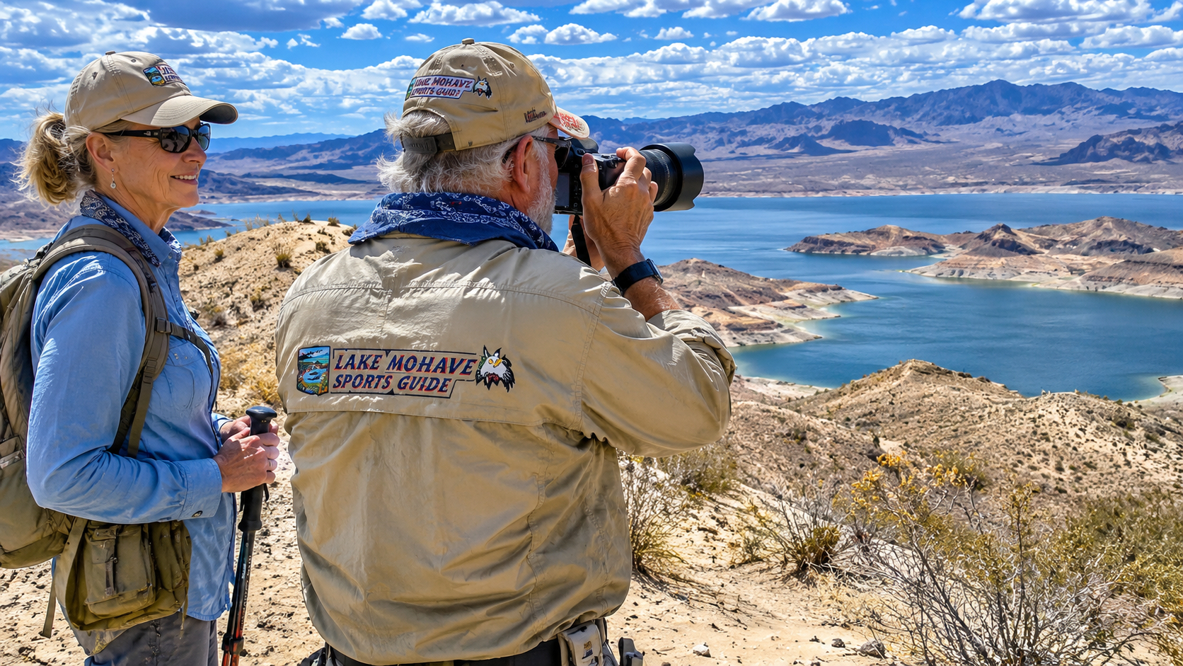
Our little desert retreat sits roughly 1,700 feet above Lake Mohave, with the blue water of the Colorado River about five miles west of us.
Beyond the lake rise the mountains of Nevada, with Spirit Mountain, or Avi Kwa Ame, standing prominently in the distance.
I've spent much of my life around water.
From my boyhood on cattle ranches in the Kansas Flint Hills to decades of bass fishing in Texas, and eventually to the magnificent rivers and lakes of the American Southwest, water has always been part of my story.
So naturally, after arriving back at Casa Codorniz a few weeks ago, I began thinking about getting the boat on Lake Mohave.
The weather was still warm, but cooler days were coming.
And after a summer away, I was anxious to see that beautiful clear water again.
I decided to hook up our twenty-foot Key West center-console and head down to Katherine Landing.
Simple enough.
Or so I thought.
As it turned out, I wasn't going fishing that morning.
Instead, I was about to get an unexpected lesson in desert hydrology, historic mining, and the enormous consequences that can follow when people disturb a mountain.
Old Wagon Trail Road: Where Did All That Runoff Come From?
It had rained the night before.
Nothing particularly unusual about that.
The Arizona desert receives much of its rainfall in brief, sometimes intense storms, particularly during the summer monsoon season and occasional autumn weather systems.
I've driven Old Wagon Trail Road after rain many times.
Over the years, I've seen small washes carry sand and gravel across the pavement.
I've watched water carve fresh channels through the desert.
And I've learned to pay attention to road conditions after storms.
But this morning was different.
Very different.
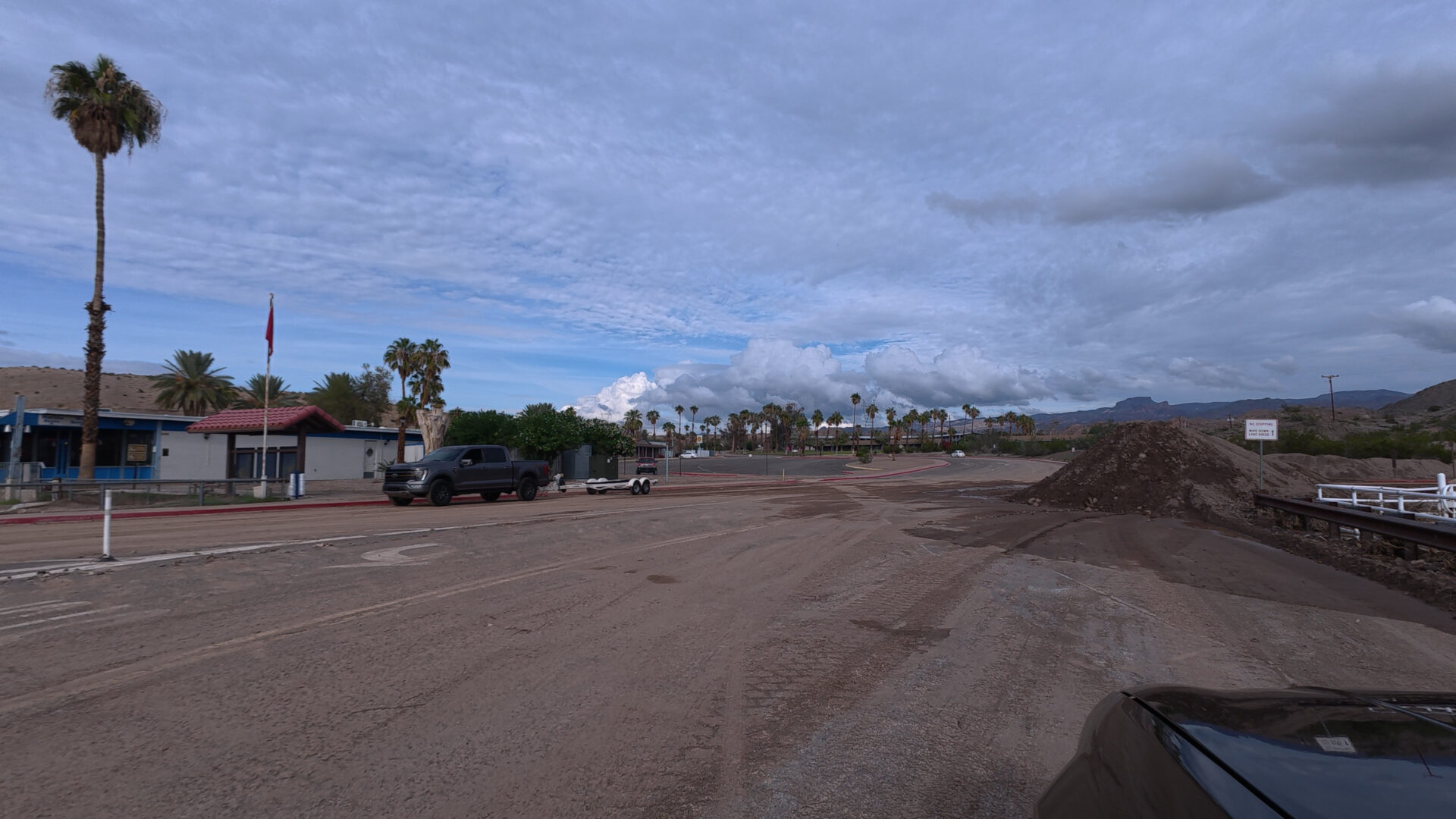
Approaching the intersection of Old Wagon Trail Road and Katherine Mine Road, I couldn't believe what I was seeing.
The blacktop was covered with runoff debris.
Sand.
Mud.
Gravel.
And rocks as large as softballs.
The deposits extended an estimated thirty to forty yards along Old Wagon Trail Road, with additional material spread up and down Katherine Mine Road.
In nearly fifteen years of spending winters in this country, I couldn't remember seeing anything remotely comparable at that location.
I'd estimate the visible accumulation was several times greater than anything I'd encountered before.
Where in the world was all this material coming from?
Had the storm been unusually intense?
Had an upstream drainage channel changed?
Had earlier runoff accumulated sediment that was finally released in one enormous flush?
Or was material from the old Katherine Mine workings contributing to the problem?
I didn't know.
But I certainly wanted to find out.
Growing up on ranches taught me that water always follows the land.
And when enough water starts moving downhill, it takes whatever loose material it can carry along for the ride.
Sometimes that's a little sand.
Sometimes it's half the road.
This morning, it looked as though the desert had decided to rearrange the neighborhood.
Katherine Landing: A Twenty-Foot Mountain of Sediment
I figured the road would improve as I continued downhill toward Katherine Landing Marina.
That turned out to be miscalculation number one.
When I reached the boat launch area, I found a sight that stopped me in my tracks.
A front-end loader was pushing sediment and debris into an enormous pile.
I'd estimate that pile was twenty feet high and forty feet long.
A small mountain of dirt.
Right there at the marina.
Workmen and heavy equipment were busy cleaning up the mess.
The amount of material was astonishing.
I'd seen storm runoff around Katherine Landing before, but nothing on this scale.
I couldn't help thinking about the labor, equipment, expense, and time required to remove all that debris.
And then another thought occurred to me.
What about the sediment that didn't stop on the road or at the boat ramp?
What about the finer material that may have continued downhill into Lake Mohave?
Sediment doesn't simply disappear.
It gets deposited somewhere.
Some remains in washes.
Some accumulates behind obstacles.
Some is collected and hauled away.
And some, during sufficiently large runoff events, may eventually reach the lake.
The question was how much.
And where did it originate?
I wasn't prepared to answer either question that morning.
I was still hoping to launch the Key West.
So I came up with Plan B.
Princess Cove.
Princess Cove: Miscalculation Number Two
Princess Cove has long been one of our familiar Lake Mohave access points.
I figured that if Katherine Landing was dealing with storm debris, perhaps I could use the Princess Cove ramp instead.
That was miscalculation number two.
As I approached the area where Cabin Site Road crosses a desert wash below the old Katherine Mine overburden, I encountered another remarkable accumulation of mud and sediment.
This one stretched for what appeared to be roughly one hundred yards.
The mud looked deep.
Very deep.
There was a single set of vehicle tracks crossing the deposit.
I suspected they might have been made by a Park Service vehicle, although I couldn't identify who had driven through.
Judging from the tracks, some sections appeared to be more than a foot deep.
Now, I have considerable respect for four-wheel-drive vehicles.
But I also have considerable respect for the laws of physics.
And towing a twenty-foot center-console boat through a hundred yards of deep, wet mud seemed like a particularly poor idea.
There was no way I was going to risk burying the Cherokee and boat trailer in that mess.
I've spent enough years around boats, trailers, ranch equipment, and construction machinery to recognize a bad situation before driving into it.
So I stopped.
Looked things over.
Shook my head.
And turned around.
No fishing today.
Back to Casa Codorniz.
But I was taking home something considerably more troubling than a missed morning on Lake Mohave.
I was taking home a question.
How much sediment has been washing down from this old mining country toward Lake Mohave and the Colorado River over the past hundred years?
And what might be in it?
Katherine Mine: A Century-Old Mining Legacy
The Katherine Mine is part of the historic mining landscape of northwestern Arizona.
Gold and other minerals attracted prospectors into the Black Mountains during the late nineteenth and early twentieth centuries.
Mining brought jobs, investment, roads, and communities into what was otherwise difficult desert country.
I understand the attraction.
Growing up on ranches, and later operating a construction business for seventeen years, I developed a healthy respect for people willing to work hard and take risks.
The old miners certainly did both.
They worked in tremendous heat.
Hauled equipment over rough wagon roads.
Dug tunnels into hard rock.
And often gambled their savings and labor on mineral deposits that never became profitable.
But those mining operations also left something behind.
Waste rock.
Tailings.
Disturbed hillsides.
Abandoned workings.
And material that remains exposed to desert weather long after the miners have departed.
The Katherine Mine area is particularly important because of its proximity to Lake Mohave and the Colorado River.
The question isn't whether mining once occurred there.
It did.
The question is what happens to the material that remains.
What Is Mine Overburden?
Mining produces several different kinds of material, and the distinctions matter.
Overburden is soil or rock removed to reach an underlying mineral deposit.
Waste rock is excavated material considered uneconomic to process.
Tailings are the finely ground residues left after valuable minerals have been separated from ore.
These materials behave differently during storms.
Coarse waste rock may remain on a hillside for decades.
Fine tailings can be much easier for water or wind to transport.
And the chemistry of mine waste depends on the minerals present and how the material was processed.
It's tempting to call every pile of material around an old mine overburden.
But the difference between waste rock and processed tailings is especially important when discussing possible contamination.
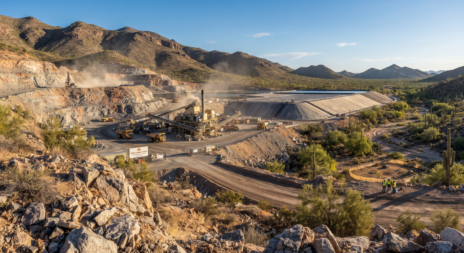
The Katherine Mine has documented tailings deposits, and researchers have examined their chemical composition and environmental transport.
That research led me to something far more troubling than the mud on Cabin Site Road.
What Does Scientific Research Say About Katherine Mine Tailings?
When I got home, I started investigating.
My first question was simple.
How much sediment could a storm deposit across one hundred yards of roadway?
An AI calculation gave me a rough answer.
But further research revealed that the Katherine Mine's environmental legacy has already attracted scientific attention.
A 2023 study by C. Ö. Karacan, O. Erten, and J. A. Martín-Fernández, published in the Journal of Geochemical Exploration and indexed by the U.S. Geological Survey, examined the Katherine Mine tailings using geochemical sampling and statistical modeling.
The study is titled Assessment of Resource Potential from Mine Tailings Using Geostatistical Modeling for Compositions: A Methodology and Application to Katherine Mine Site, Arizona, USA.
And its findings deserve attention.
Researchers estimated the quantities of several elements remaining within the tailings area, including copper, zinc, lead, arsenic, silver, and gold.
More importantly for those of us who love Lake Mohave, the study reported that material containing several elements had been transported toward Lake Mohave by Katherine Wash, an intermittent drainage crossing the tailings.
The published abstract reports estimated transported quantities of approximately:
|
Element |
Reported estimated quantity transported toward Lake Mohave |
|---|---|
|
Arsenic |
0.51 metric tons |
|
Mercury |
0.005 metric tons |
|
Gold |
0.020 metric tons |
|
Silver |
0.62 metric tons |
USGS Publications
I had to read those figures more than once.
This wasn't simply a story about a muddy road.
It was scientific evidence that the old mine tailings and the drainage system were connected.
Now, there's an important distinction here.
Those numbers are model-based estimates reported by the researchers, not measurements of what entered Lake Mohave during the particular storm I witnessed.
They also don't tell us the current concentration of those elements in lake water, whether they are biologically available, or whether fish are unsafe to eat.
Those questions require additional sampling and analysis.
But the study establishes something significant.
Katherine Wash has been identified as a pathway capable of transporting material associated with the old Katherine Mine tailings toward Lake Mohave.
And that is a legitimate environmental concern.
How Much Sediment Was on Cabin Site Road?
After seeing the mud on Cabin Site Road, I asked AI to estimate the volume.
The calculation used three assumptions:
-
A deposit approximately 100 yards long.
-
An average depth of 12 to 18 inches.
-
An assumed width of 20 feet.
Using those dimensions, the arithmetic looks like this:
ESTIMATED VOLUME
222–333 yd³
Approximately 6,000–9,000 cubic feet
ILLUSTRATIVE WET WEIGHT
300–500 tons
Using assumed bulk density
That's an astonishing amount of material for one short stretch of road.
But I want to emphasize something.
This is a hypothetical calculation, not a measured sediment load.
I didn't survey the deposit.
I didn't measure its average depth.
And I didn't determine how much of it came from the Katherine Mine tailings rather than ordinary desert soil, eroded road shoulders, or natural stream channels.
The assumed width of twenty feet may also be incorrect.
Even if the volume estimate happened to be close, the material deposited on the road is not the same as the quantity that entered Lake Mohave.
Some sediment may have stopped upstream.
Some may have been carried farther downhill.
Some may have been removed by road crews.
And some may have reached the lake.
Without field measurements and sediment sampling, we simply don't know the proportions.
Still, the calculation illustrates the enormous power of storm runoff.
A short-lived desert flood can move hundreds of tons of material through a relatively small area.
Now imagine what repeated storms might accomplish over a century.
The Question That Bothers Me: What Has Happened Over 100 Years?
This is where the story becomes personal.
Paulette and I have been fortunate to spend our winters overlooking Lake Mohave for nearly fifteen years.
We've watched the desert change with the seasons.
We've photographed its wildlife.
Explored its mountains.
And spent countless hours fishing the clear water of the Colorado River.
I've come to love this country.
So when I see enormous deposits of mud and rock below an old mining district, I can't help wondering what has happened during the decades before we arrived.
How many storms have passed through Katherine Wash?
How much tailings material has been eroded?
Where has it been deposited?
How much remains in the wash?
How much has reached Lake Mohave?
And has anyone measured the long-term consequences for aquatic habitat?
These are reasonable questions.
But they are not questions I can answer by looking at a muddy road.
They require historical aerial photography, topographic surveys, sediment sampling, geochemical testing, and a properly designed watershed study.
There is also a difference between sediment accumulation and chemical contamination.
Sediment can damage aquatic habitat by covering rocky areas, filling shallow coves, and increasing turbidity.
Contaminants associated with some mine wastes can create additional risks, depending on their concentrations, chemical forms, and environmental conditions.
A sediment deposit isn't automatically toxic.
And the presence of a potentially hazardous element in tailings doesn't establish that the lake's fish or drinking water are unsafe.
But neither should we dismiss the possibility without investigation.
Katherine Landing Drainage Problems Were Documented Years Ago
The runoff I witnessed may have seemed extraordinary, but the underlying drainage challenges aren't new.
A National Park Service environmental assessment for the Katherine Landing Access Road rehabilitation project documented dozens of washes crossing the project area.
The assessment identified 36 washes within the road project limits, excluding additional erosional gullies in the surrounding mountains.
It also explained that these washes generally flow from northeast to southwest and that stormwater carries sediment across or alongside the road before continuing toward Lake Mohave.
Some washes were documented as causing erosion and undermining roadway surfaces.
The assessment described the drainage channels as normally dry but capable of carrying sediment-laden runoff during storms.
Park Planning
That's particularly interesting because it confirms that sediment transport through this landscape was recognized well before my recent experience.
It doesn't establish that the Katherine Mine caused every deposit I saw.
But it does confirm that the drainage network is capable of moving substantial material toward the lake.
In other words, the problem isn't imaginary.
The stormwater system is real.
The sediment transport is real.
And the historic mine tailings are real.
The remaining question is how those factors interact during major storms.
Why Sediment Matters to Lake Mohave's Fish and Wildlife
Lake Mohave isn't simply a recreational reservoir.
It's an important aquatic ecosystem within Lake Mead National Recreation Area.
The lake supports sportfish, native fish, aquatic invertebrates, waterbirds, and other wildlife.
According to the Arizona Game and Fish Department's conservation strategy, Lake Mohave is managed for high-quality largemouth and smallmouth bass fisheries, striped bass, channel catfish, and conservation of native species such as razorback suckers and bonytail chub.
Arizona Wildlife Conservation Strategy
Those fish depend on healthy aquatic habitat.
How Can Excessive Sediment Affect Bass Fishing?
I've spent more than fifty years fishing for bass.
During my years as a professional guide and tournament angler in Texas, I learned how important underwater structure and habitat are to fish.
Smallmouth bass often use rocky points, gravel beds, boulder fields, and submerged ledges.
Largemouth bass may use vegetation, brush, rocky cover, and protected coves.
Excessive fine sediment can cover some of those habitats.
It may fill spaces between rocks that aquatic insects and small fish use for shelter.
It can bury suitable spawning substrate.
And suspended sediment can temporarily reduce visibility and alter feeding conditions.
Not every sediment deposit is harmful, and natural sediment movement is part of every river system.
But unusually large or persistent deposits can change habitat.
The difference between natural sediment and mining-related sediment is especially important when evaluating chemical risks.
What About Razorback Suckers and Other Native Fish?
The razorback sucker is one of the Colorado River's remarkable native fishes.
It evolved in a river system very different from the highly regulated waterway we know today.
Dams, altered flows, nonnative predators, and habitat changes have contributed to the species' decline.
Lake Mohave has played an important role in razorback sucker conservation.
Arizona Game and Fish identifies the lake as a priority area for sustaining native fish populations and supporting recovery efforts.
Arizona Wildlife Conservation Strategy
When I think about protecting Lake Mohave, I'm not thinking only about the smallmouth bass I enjoy catching.
I'm thinking about the entire aquatic community.
And about the generations who will inherit it.
How Big Is Lake Mohave, and Where Does Its Water Come From?
Lake Mohave is a long, narrow reservoir on the Colorado River, extending approximately 67 miles between Hoover Dam and Davis Dam.
It covers roughly 28,000 to 30,000 surface acres, depending on operating elevation, and has more than 300 miles of shoreline.
Its principal inflow is the Colorado River, released through Hoover Dam from Lake Mead.
Smaller intermittent washes contribute local storm runoff.
Unlike a reservoir supplied by several large tributary rivers, Lake Mohave receives most of its water through the regulated Colorado River system.
That makes the smaller desert drainages particularly interesting when considering local sediment inputs.
The river water arriving through Hoover Dam has already passed through the enormous sediment-trapping reservoir of Lake Mead.
Local washes, however, can deliver material directly from the surrounding mountains.
And when those washes cross historic mining areas, the possibility of transporting mine-related sediment deserves attention.
What About Lake Mohave Water Levels?
Lake Mohave's elevation changes in response to Colorado River operations.
Releases from Hoover Dam, downstream deliveries through Davis Dam, and seasonal management requirements all influence lake levels.
The National Park Service notes that Lake Mohave generally maintains more consistent shoreline conditions than Lake Mead, although local access can still be affected by water-level changes and storms.
National Park Service
For current conditions, visitors should consult the National Park Service lake conditions page and Bureau of Reclamation water-level information.
A launch ramp may be usable from a water-elevation standpoint and still be temporarily obstructed by sediment, debris, or construction.
That's precisely why checking local conditions matters.
Lake Mohave Fishing: What Species Live Here?
Lake Mohave is home to several popular sportfish.
Arizona Game and Fish identifies striped bass as a particularly popular target for anglers. The lake also supports largemouth bass, smallmouth bass, channel catfish, rainbow trout, and other species.
Arizona Game & Fish Department
Smallmouth Bass
Smallmouth bass are my personal favorites.
There's nothing quite like sight fishing for bronzebacks in Lake Mohave's clear water.
I enjoy working rocky points, boulder fields, submerged ledges, and gravel transitions.
In spring, when conditions are favorable, shallow-water sight fishing can be especially rewarding.
During cooler months, I often search deeper rocky structure with finesse presentations.
Largemouth Bass
Largemouth bass are more closely associated with protected coves, vegetation where available, submerged cover, and transitions between shallow and deeper water.
Soft plastics, finesse jigs, swimbaits, and crankbaits can all be effective.
Striped Bass
Striped bass roam more widely in search of forage.
Anglers often locate them by watching baitfish, birds, and sonar.
The Arizona Game and Fish Department changed the striped bass daily bag limit for Lake Mead and Lake Mohave to unlimited in 2026, while also setting the catfish daily limit at 25. Other species limits and licensing requirements still apply.
Arizona Game & Fish Department
Why Water Quality Matters to Anglers
Fishing success depends on more than the number of fish in a lake.
Water quality.
Habitat.
Food availability.
Spawning conditions.
And healthy aquatic ecosystems all matter.
If historic mining sediment is entering portions of Lake Mohave, the appropriate response is to determine its composition, quantity, distribution, and ecological significance.
That requires scientific investigation, not speculation.
And it's precisely the kind of investigation I'd like to see.
Wildlife Around Katherine Landing and the Black Mountains
The desert surrounding Lake Mohave is home to a surprising variety of wildlife.
Paulette and I particularly enjoy photographing Gambel's quail, ravens, hawks, coyotes, jackrabbits, and desert bighorn sheep.
The quail are special to us.
They're the reason I named our winter home Casa Codorniz.
Their little coveys move through the brush around our house, entertaining us with their distinctive calls and quick movements.
The mountains also provide habitat for desert bighorn sheep, while the lake attracts waterbirds, including herons, cormorants, grebes, and seasonal waterfowl.
These animals depend on the desert's limited water resources and the habitats surrounding them.
And that's another reason I care about what happens in the washes above Lake Mohave.
A drainage channel isn't simply a ditch carrying unwanted rainwater.
It's part of a larger landscape.
What happens uphill can affect the country below.
Visiting Lake Mohave: Marinas and Boat Ramps
Lake Mohave has three principal developed marina destinations.
Each offers access to a different section of the reservoir.
Katherine Landing Marina
Address: 2690 E. Katherine Spur Road, Bullhead City, AZ 86429
Telephone: 928-754-3245
Website: Katherine Landing
Email: No public general email address was verified. Use the marina's contact page.
Katherine Landing is the closest marina to Casa Codorniz and our usual launching destination.
It offers boat launching, fuel, boat rentals, slips, lodging, camping, and other services.
The marina is named for the historic Katherine Mine. Its concessioner reports that gold was discovered in the area around 1900 and that the mine operated intermittently until approximately 1930.
katherinelanding.com
That history makes the relationship between the old mine and the modern marina especially interesting.
Cottonwood Cove Marina
Address: 10000 Cottonwood Cove Road, Searchlight, NV 89046
Telephone: 855-918-5253 or 702-297-1464
Website: Cottonwood Cove Resort
Email: No current public general email address verified; contact through the resort website.
Cottonwood Cove is located on the Nevada side of Lake Mohave.
It offers boat launching, fuel, rentals, camping, RV accommodations, and lodging.
Willow Beach Marina
Address: 25804 Willow Beach Road, Willow Beach, AZ 86445
Telephone: 855-918-5253
Website: Willow Beach Harbor
Email: No current public general email address verified; contact through the marina website.
Willow Beach provides access to the northern section of Lake Mohave and the Colorado River below Hoover Dam.
It's a particularly scenic area for fishing, kayaking, and exploring the Black Canyon region.
The National Park Service lists these three marina operations among its authorized Lake Mohave concession services.
National Park Service
Princess Cove and Other Launching Areas
Princess Cove lies approximately eight miles north of Davis Dam.
The National Park Service identifies it as a developed access point with a paved launch ramp, parking, picnic shelters, and restrooms.
National Park Service
Cabin Site Point and the Telephone Cove areas provide additional shoreline access, although not every location is suitable for launching a twenty-foot center-console boat.
After my recent experience, I'd strongly recommend checking road conditions before attempting any of the smaller access routes following heavy rain.
Lodging Near Lake Mohave
Visitors who want to explore the Katherine Mine area, photograph the Black Mountains, or spend several days fishing Lake Mohave have several convenient lodging options.
Katherine Landing Motel and Campground
Address: 2690 E. Katherine Spur Road, Bullhead City, AZ 86429
Telephone: 928-754-3245
Website: katherinelanding.com
Email: Use the website's contact form.
The motel and campground provide convenient access to the marina and surrounding recreation area.
Harrah's Laughlin Beach Resort & Casino
Address: 2900 South Casino Drive, Laughlin, NV 89029
Telephone: 702-298-4600
Website: Harrah's Laughlin
Email: No verified public general reservations email; use the hotel's official contact channels.
Paulette and I recently spent three nights at Harrah's while waiting for repairs to our Casa Codorniz water system.
It's a comfortable option for visitors who prefer hotel accommodations.
Additional Laughlin Lodging
Laughlin offers numerous hotels, restaurants, and visitor services just across the Colorado River from Bullhead City.
For additional options, consult Visit Laughlin.
Weather and Monsoon Runoff Around Lake Mohave
The Lake Mohave region experiences four distinct desert seasons.
Winter is generally pleasant for hiking, fishing, and photography.
Spring brings warming temperatures and occasional strong winds.
Summer can be extremely hot, with temperatures frequently exceeding 100°F.
And the monsoon season, generally associated with July through September, can bring intense thunderstorms and flash flooding.
The National Park Service specifically warns that monsoon storms can leave deep mud and sharp rocks on roads throughout Lake Mead National Recreation Area.
National Park Service
Autumn often brings more comfortable temperatures, but storms can still occur.
The runoff I encountered demonstrates why even a single rain event deserves respect.
A road that was perfectly passable yesterday may be dangerous today.
And a dry wash that looks harmless can become a torrent during a storm.
For current weather and access information, I recommend checking the National Park Service alerts and conditions before visiting.
Driving to Katherine Landing and Lake Mohave
For visitors interested in seeing the beautiful country surrounding Katherine Landing, the following are approximate one-way driving distances and general routes.
These distances are planning estimates, not live route measurements.
|
Starting city |
Approximate distance |
General driving route |
|---|---|---|
|
Las Vegas, Nevada |
105–115 miles |
US-95 south toward Searchlight, NV-163 east toward Laughlin, then across the Colorado River |
|
Flagstaff, Arizona |
180–200 miles |
I-40 west to Kingman, then US-93 and AZ-68 toward Bullhead City |
|
Phoenix, Arizona |
225–245 miles |
US-60 west and US-93 northwest toward Kingman, then AZ-68 |
|
Tucson, Arizona |
340–370 miles |
I-10 west toward Phoenix, then US-93 northwest toward Kingman |
|
Bakersfield, California |
300–330 miles |
CA-58 east toward Barstow, I-40 east toward Needles, then US-95 north |
|
Los Angeles, California |
300–330 miles |
I-15 east toward Barstow, I-40 east toward Needles, then US-95 north |
Once in Bullhead City, follow Katherine Spur Road to Katherine Landing Marina.
What Should Be Done About Katherine Mine Sediment Runoff?
After looking at the scientific research and thinking about what I witnessed, I believe there are several reasonable questions that deserve answers.
First, how much historic mine waste remains exposed to erosion?
Second, which washes drain through the old tailings deposits?
Third, what concentrations of metals and other potentially harmful substances are present in the sediments being transported downstream?
Fourth, how much of that material reaches Lake Mohave during major storms?
And finally, what practical measures could reduce the transport of contaminated sediment without creating additional damage to the surrounding desert?
These are questions for qualified scientists, engineers, and the responsible land-management agencies.
A Practical Approach to Investigating the Problem
I'd like to see a coordinated investigation involving the National Park Service, the U.S. Geological Survey, the Arizona Department of Environmental Quality, and other agencies with jurisdiction.
Such an investigation could include:
-
Mapping the historic Katherine Mine waste-rock and tailings deposits.
-
Surveying the drainage channels connecting the mine area to Lake Mohave.
-
Collecting sediment samples upstream and downstream of the mine workings.
-
Testing for arsenic, lead, mercury, and other elements associated with the tailings.
-
Measuring sediment accumulation in selected portions of the lake.
-
Evaluating erosion-control and stabilization options.
-
Publishing the findings so local residents and visitors can understand the actual conditions.
I don't believe every old mine automatically represents an environmental disaster.
And I certainly don't believe mining history should be erased.
Those old workings are part of the story of the American Southwest.
But historic significance doesn't eliminate responsibility for environmental consequences.
Where problems exist, they should be documented.
Where remediation is necessary, it should be based on sound engineering and scientific evidence.
And where conditions are safe, the public deserves to know that too.
How Can Residents Document Future Runoff Events?
For those of us living in the surrounding country, photographs and video can provide useful evidence of changing conditions.
I intend to continue documenting the roads and washes around Casa Codorniz when it is safe to do so.
Photographs taken from consistent locations can reveal changes in erosion, channel alignment, and sediment accumulation.
Recording the date, approximate location, recent rainfall, and visible conditions makes that documentation more useful.
But I wouldn't recommend entering flooded washes, collecting potentially contaminated tailings without proper precautions, or attempting to measure dangerous runoff firsthand.
Let the professionals handle that work.
If serious erosion or suspected mine-waste transport is observed, the appropriate agencies should be notified with specific locations and supporting photographs.
Five More Lake Mohave Stories Worth Reading
The story of Katherine Mine is part of a much larger conversation about protecting the desert landscapes and waters we enjoy.
On Lake Mohave Sports Guide, I've written about several related subjects.
Our recent article on mineral exploration activity along Old Wagon Trail and the Gold Chain Project area examines concerns about road grading, surface disturbance, and the need for responsible oversight.
Lake Mohave
For a more enjoyable side of the same country, Paulette and I recently explored Fisherman's Trail at Katherine Landing, discovering rocky hills, beautiful sandy terrain, and a brushy cove.
Lake Mohave Hiking Guide
Another favorite story celebrates Lake Mohave beaches in December, when the quiet shoreline provides a wonderful setting for family memories and photography.
Lake Mohave
Readers interested in the history and scenery of the river can also explore the Colorado River Heritage Trail, which introduces the natural and cultural heritage of this remarkable region.
And for those who want to experience the lake from the water, Lake Mohave boating and beach adventures offers a starting point for discovering the reservoir's recreational opportunities.
Editorial note: The first three links above are verified article URLs. The last two lead to the site's published article index because their exact article permalinks could not be independently confirmed. Replace those two index links with the corresponding article URLs before publication.
A Hundred Years Later, the Colorado River Is Still Paying the Price
Eventually, after my unsuccessful attempts to launch at Katherine Landing and Princess Cove, I returned to Casa Codorniz.
The Key West went back into its parking place.
The fishing rods remained unused.
And the lake would have to wait for another day.
Normally, that would have been the end of the story.
A little bad luck.
A muddy road.
And another fishing trip postponed.
But this time, I couldn't get the images out of my mind.
The softball-sized rocks scattered across Old Wagon Trail Road.
The sediment covering Katherine Mine Road.
The enormous pile of debris at Katherine Landing.
And that hundred-yard stretch of deep mud below the old mine workings.
I'd driven those roads for nearly fifteen years.
I'd never seen anything like it.
Then I discovered the scientific research documenting the movement of mine-related material through Katherine Wash toward Lake Mohave.
That changed the way I thought about what I'd witnessed.
I still don't know how much of the sediment from this particular storm came from the old Katherine Mine.
I don't know how much reached the lake.
And I don't know whether the material deposited along the roads contained hazardous concentrations of metals.
Those questions remain unanswered.
But I do know that the landscape has a long memory.
A mine can close.
The miners can leave.
The equipment can disappear.
And the buildings can crumble into the desert.
Yet the material they disturbed can remain exposed to wind and water for generations.
Every substantial rainstorm has the potential to move some of it farther downhill.
And in this country, downhill eventually leads toward the Colorado River.
What Would My Grandfather Have Thought?
Growing up on cattle ranches in Kansas, I learned that land stewardship wasn't something you talked about only when it was convenient.
It was something you practiced.
You maintained fences.
Protected water sources.
Managed grazing.
And tried to leave the land in decent condition for the next generation.
Those principles stayed with me throughout my life.
I've always believed that people should be free to work hard, build businesses, and make productive use of our natural resources.
But I've also believed that freedom carries responsibility.
If we disturb the land, we should take reasonable steps to protect it.
If our activities create hazards, we should address them.
And if our mistakes cause damage, we shouldn't expect future generations to shoulder the entire burden.
The Katherine Mine operated during an era when environmental protection received far less attention than it does today.
The people working there probably couldn't have imagined that, a century later, an old fisherman living above Lake Mohave would be worrying about sediment from their mining operations.
But here we are.
And the consequences of what we do to the land don't always disappear when the work is finished.
The River Deserves Better
Paulette and I have been extraordinarily fortunate.
We've spent our lives exploring some of the most beautiful country in America.
From the Flint Hills of Kansas to the forests and alpine valleys of New Mexico.
From the great bass reservoirs of Texas to the magnificent canyons of the Colorado River.
And now, during our winter years, the Black Mountains and Lake Mohave have become another cherished chapter.
I love this lake.
I love its clear water.
Its smallmouth bass.
Its desert bighorn sheep.
Its quiet coves.
Its rugged mountains.
And those beautiful mornings when the rising sun turns the clouds pink above Casa Codorniz.
That's why this subject troubles me.
Not because I oppose mining.
Not because I believe every muddy wash represents pollution.
But because I've seen what happens when disturbed land and powerful desert storms meet.
And because scientific research has documented that Katherine Mine tailings have contributed material to the drainage system leading toward Lake Mohave.
After more than eight decades on this earth, I've come to believe that the measure of our stewardship isn't simply what we accomplish during our own lifetimes.
It's what we leave behind.
The old Katherine Mine helped shape the history of this region.
Now we need to understand its environmental legacy.
If the sediment poses a problem, let's document it and address it.
If the risk is limited, let's establish that with reliable evidence.
But let's not wait another hundred years to ask the questions.
Because somewhere beneath those clear blue waters, smallmouth bass are swimming among the rocks.
Razorback suckers are part of an ongoing conservation effort.
And future generations of families will come to Lake Mohave to fish, swim, boat, and discover the extraordinary beauty of the Colorado River.
They deserve the same opportunity Paulette and I have enjoyed.
Perhaps even a better one.
As for me, I'll get the Key West back on the water soon enough.
There will be other mornings.
Other fishing trips.
And, with a little luck, a few more smallmouth bass.
But I won't soon forget that mountain of sediment at Katherine Landing.
Or the mud below the old Katherine Mine.
A hundred years is a long time for a mine to keep leaving its mark on the land.
And it's long past time we understood exactly what that mark means.
0 Comments